Trail Maps, GPS and Google Earth Files
The following files are available for you to download and make your trip more informational and you more knowledgeable about the Soundside Foundation. We have a variety of file types to make your tech devices more useful to you when you visit our trail system. The Soundside Foundation currently has over 3 miles of trails in its 40+ acres of land with lake, beach access, bogs and flowering trees.
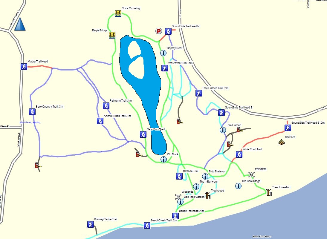
Trail Maps
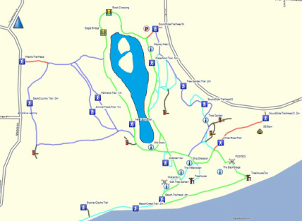
The following picture file is of the trail system and points of interest.
| soundside_trails_and_waypoints.jpg |
Trail Map and Satellite Imagery
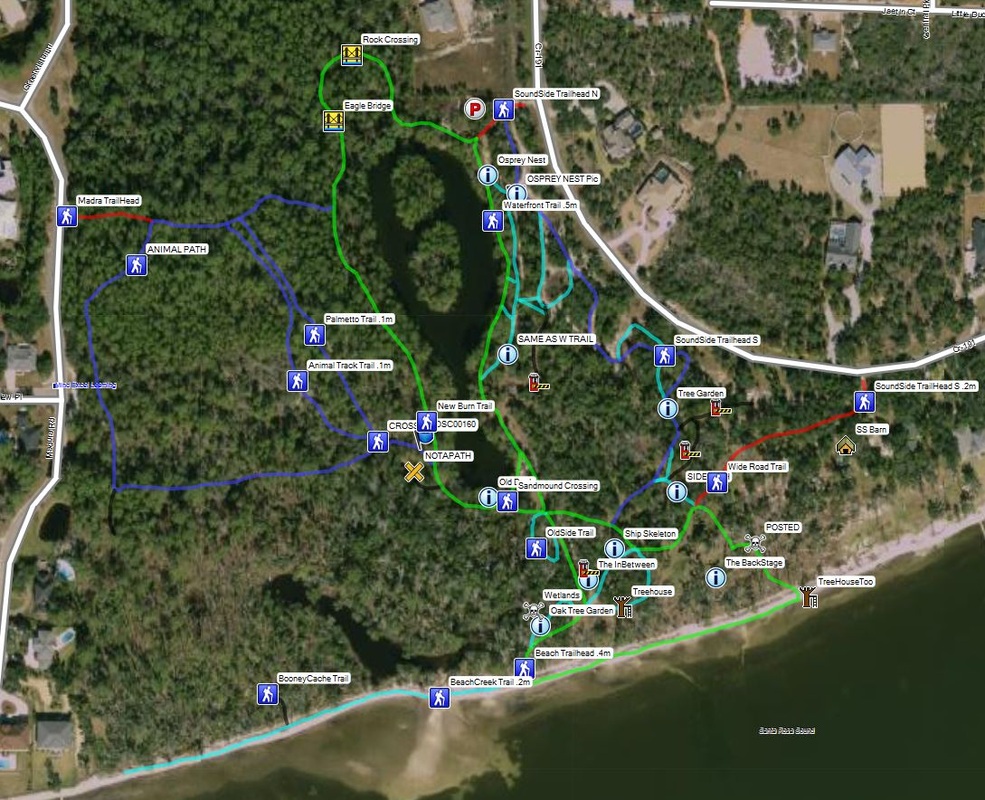
The following picture file is of the trail system and points of interest with satellite overlay.
| soundside_trails_and_waypoints_-_satellite.jpg |
GPS "GPX" file of Soundside's Trail System (and points of interest)
GPS file in GPX format; track of the Soundside trial systems and points of interest. Download file and install/load into your GPS; you will need to follow your devices manual following the details for importing/loading a "GPX" file.
| soundside_foundation_trails_and_waypoints.gpx |
Google Earth File (geo-tagged photos)
The following Google Earth File (kmz) will provide you over a 100 geo-tagged photos our our trail system. Download the following file and open it and it will open in Google Earth with the pictures located in their proper location on the map so you can see the sites before you get there. If you do not have Google Earth installed click here.
| soundside_foundation_trails_and_pictures.kmz |
